|
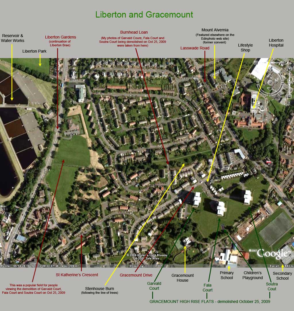
Liberton and Gracemount |
Google Earth View - and key

© Google, This page has been taken from the Google Earth web site
|
Liberton and Gracemount |
|
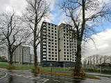
The Google Earth view above shows the Gracemount area where three blocks of high rise flats were demolished in October 2009. Please click on the thumbnail image below to see some photos of these blocks of flats taken on the day before their demolition and on the day of their demolition. |
|
Or click on the image below to see this Google Earth image without the key. |

