Caroline Park Grove Houses Demolished |
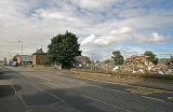
Looking NW from West Granton Road - August 2006
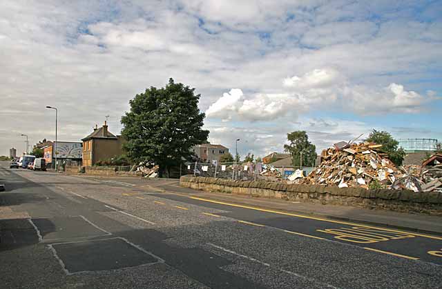
© peter.stubbs@edinphoto.org.uk Photograph taken August 25 2006 at 11.57am
Caroline Park Grove |
|
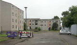
This view looks to the NW from West Granton Road. Granton Road least to the west, out of the top left corner of the picture, towards Muirhouse. The framework of the last of Granton's three gasometers can be seen at the extreme right of the picture. Almost all the houses in Caroline Park Grove have now been demolished. The last ones, still standing can be seen immediately to the right of the large tree. They can also be seen at the end of the road in this picture, taken in July 2006. |
|
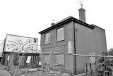
The house in West Granton Road, behind the tree in the large photo above, is awaiting demolition. Update: June, 2007 The house has now been demolished and the site cleared. |
|
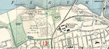
The small street on the right, in front of the large tree is also named Caroline Park Grove. It can be seen on the 1955 map below, leading into the area then labelled 'Ministry lf Labour Training Centre'. Please click on the map below to enlarge it: |