|
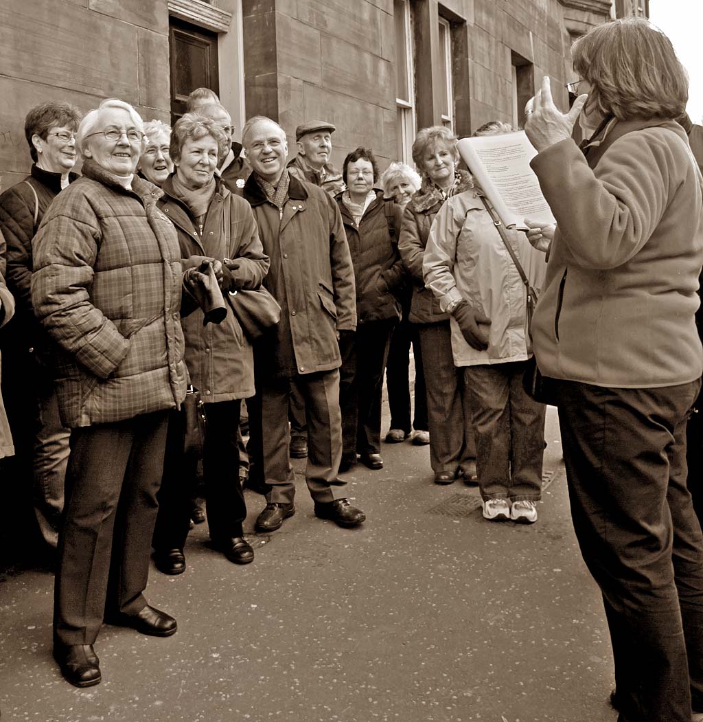
Standard Life Strollers Eyre Place Canonmills |
Canonmills and Silvermills
2011
© Copyright: For permission to reproduce, please contact peter.stubbs@edinphoto.org.uk Photograph taken February 24, 2011
|
and read about this photo |
|
Historic Walk Canonmills and Silvermills |
|
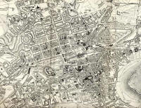
Here, one of two groups of walkers pause in Eyre Place, almost opposite the site where Canonmills House once stood, to hear a little of the history of the area from their guide, Karen MacCormick. Canonmills House can be seen top-centre in this 1870 map. Eyre Place is the un-named road in this map, leading to the east from the eastern end of Henderson Row. (This is a large map. You may need to scroll to see the whole map. 1870 |


