| ||||||||||||||||||||
|
West Bow |
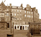
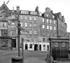
The Foot of West Bow from the Grassmarket - 2007
© Copyright: Peter Stubbs - please contact peter.stubbs@edinphoto.org.uk Photograph taken: January 31, 2007
|
West Bow |
|
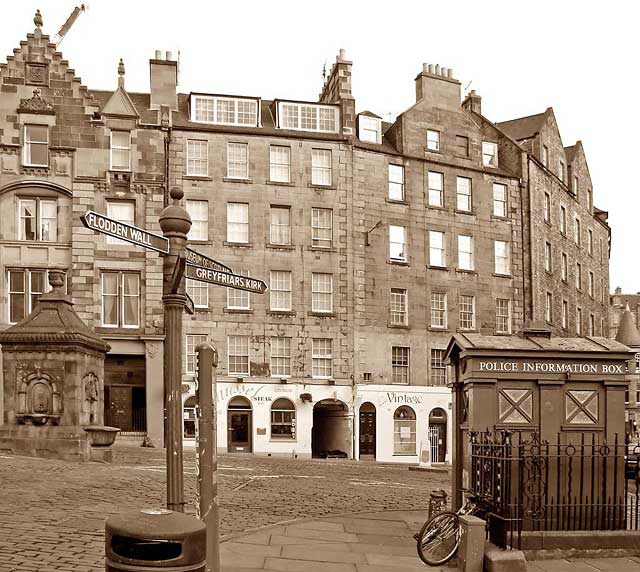
West Bow and Victoria Street This view looks to from the Grassmarket towards the shops and houses in West Bow at the eastern end of the Grassmarket. West Bow used to be the only approach to Edinburgh Castle from the south. It was a steep, winding street, but its upper part was replaced by Victoria Street when George IV Bridge was built in the early 19th century. |
|
112 West Bow I have been asked about 112 West Bow by three different people in the past month, January 2007. West Bow is the address of the address of Edmonston's Close, the small arch that runs between the two white shops in the centre of the picture above. |
|
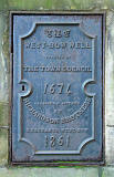
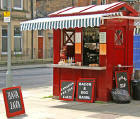
Street Furniture Also in this picture there are: - West Bow Well, dating from 1674. - An 'Edinburgh-style' Police Box - once used by the police, and also by the public for making emergency telephone calls. Many of these boxes can still be found in the streets of Edinburgh. Some of them have been converted to coffee kiosks. - A sign post with arms pointing to: - Museum of Scotland - Greyfriars' kirk - Magdelen Chapel - Flodden Wall - Castle Terrace Car Park. - A new post giving tourist information, beside the sign post,, and behind the litter bin. |
| ||||||||||||||||||||