|
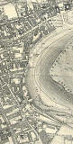
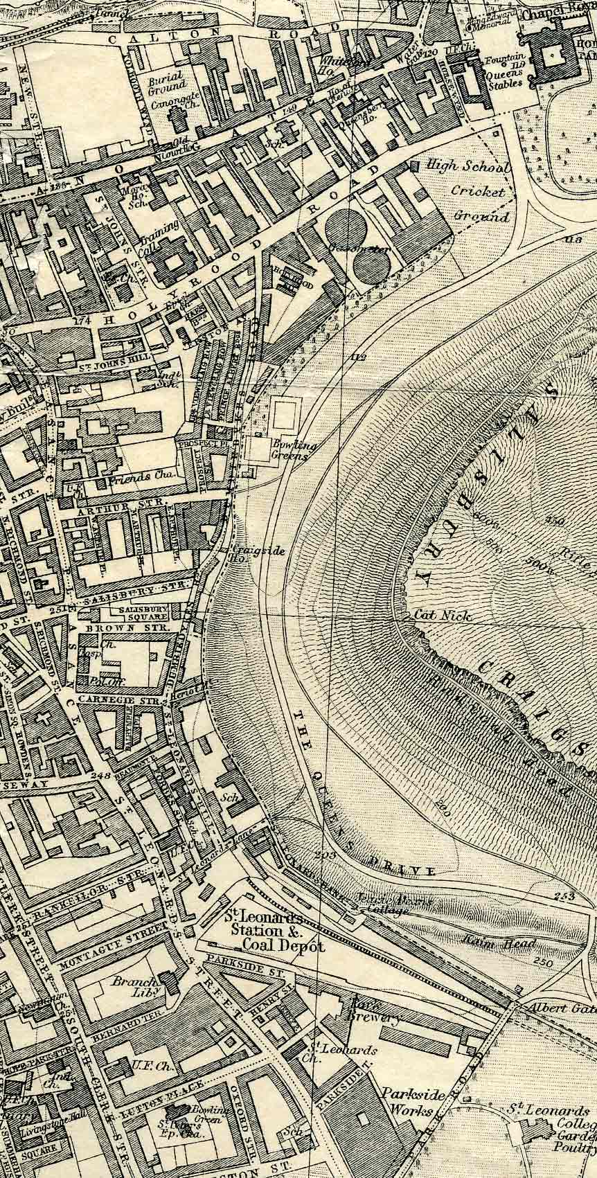
Dumbiedykes (top of map) and St Leonard's (bottom of map) -1925 Please scroll along and down to see more of this map OR view smaller map OR view other sections from this map |
|
Dumbiedykes and St Leonard's districts of Edinburgh lie on the western edge of Holyrood Park. Many of the buildings in St Leonard's were demolished around 1930, and those in Dumbiedykes in the 1960s. |
©
For permission to reproduce, please
contact peter.stubbs.
This is an extract from a map of Edinburgh & Leith by
John Bartholemew FRGS .
The map
was published in the Edinburgh & Leith Post Office Directory, 1925-26