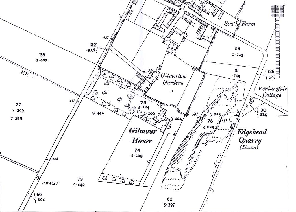
Map of the area around

Gilmour House

Extract from Ordnance Survey
County Series Map, 1843-1847

Gilmour House

formerly Gilmerton House

Map of the area around Gilmerton House  -  Ordnance Survey County Series Map, 1843-1893

©  Reproduced with acknowledgement Mapman


View smaller map

and read about this map

  Map of the area around Gilmerton House  -  Ordnance Survey County Series Map, 1843-1893 ©


MAPS:  Full index

Outline Map of the British Isles © MAPS: Short Index with thumbnails


__________________