|
St Leonard's District Photos Photo 11 Cowan's Close |
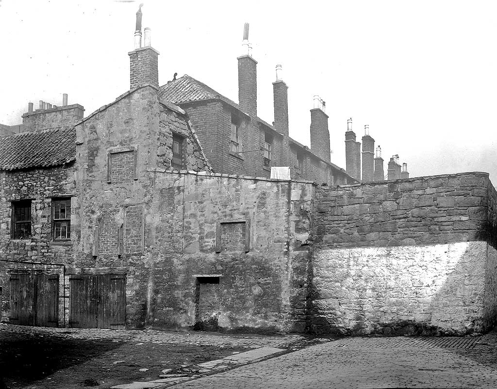
© Reproduced with acknowledgement to David Gordon, Old Town, Edinburgh
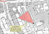
showing where the photograph above was taken from
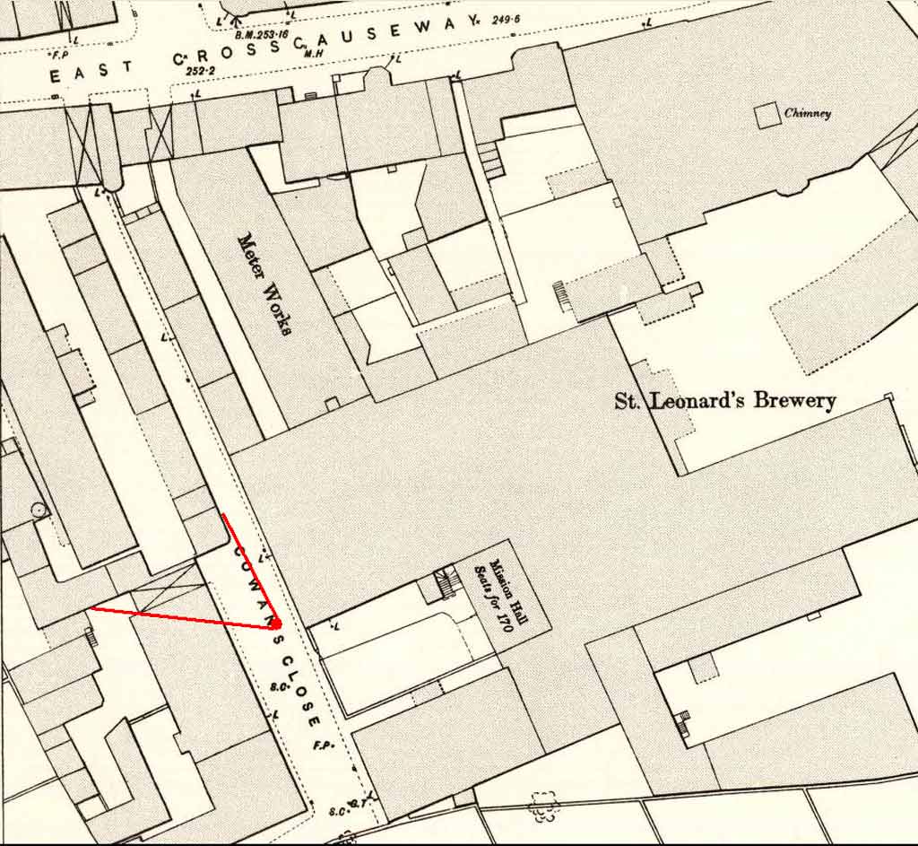
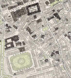
© This 1891 Bartholemew map is reproduced by permission of the Trustees of the National Library of Scotland. Please view smaller photo below then see 'Reply 1'.
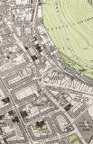
showing where the photograph above was taken from
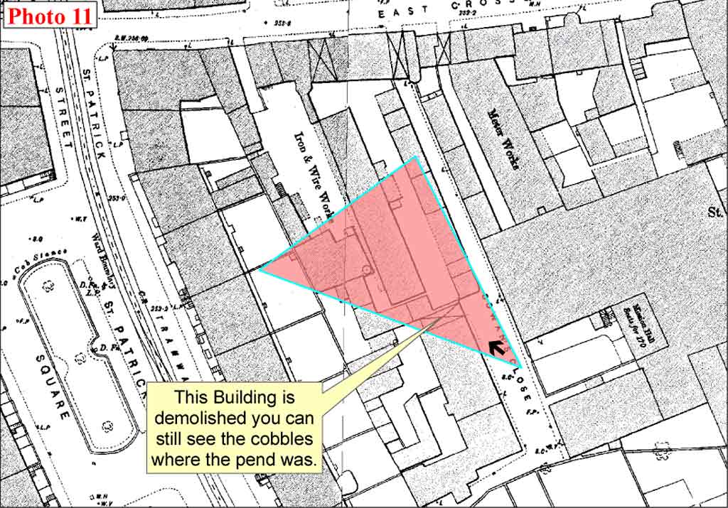
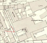
© This annotated Ordnance Survey 1:500 Town Plan of 1894 is reproduced with acknowledgement to Neil Lawrence. Please view smaller photo below then see 'Reply 2'.
|
and read about this photo |
|
1891 Map Cowan's Close can be seen at the extreme left of the St Leonard's map below, about 1/3 of the way down the map. |
|
More photos - Questions and Answers: Where is it? |
||