|
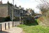
Around Edinburgh St Leonard's District and the Southside St Leonard's district and Southside lie to the west of Holyrood Park |
|
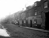
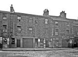
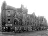
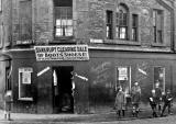
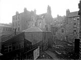
Photographs 1920s |
|||
|
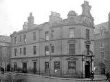
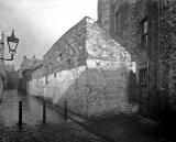
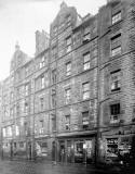
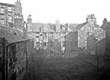
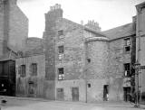
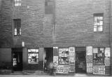
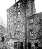
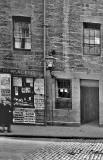
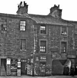
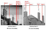
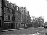
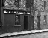
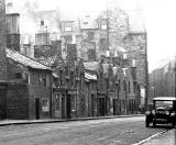
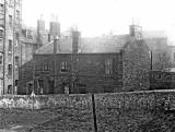
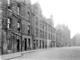
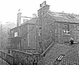
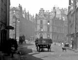
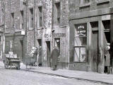
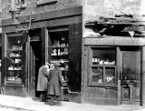
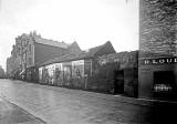
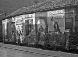
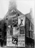
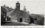
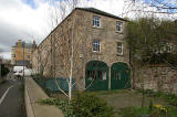
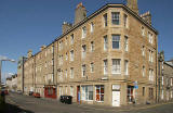
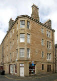
Whole-Plate Negatives and Glass Plates The images below are taken from whole-plate negatives and from whole-plate glass plates. The photographer and exact dates of the photos are not known and some of the locations have still to be identified, but I believe that they are all in the St Leonard's district of Edinbrugh. There are lots of clues about the locations in the photos. I'll add more details to the web site, including dates and locations, as I discover them. Update When I added these photos to the web site (on July 4, 2008) 10 of the 23 locations had been identified. Now (August 5, 2008) 21 of the 23 locations have been identified. |
|||
|
1 |
2 |
3 |
|
|
4 |
5 |
6 |
|
|
7 |
8 |
9 |
|
|
10 |
11 |
12 |
|
|
12 left |
12 right |
Between St Patrick Street and Cowan's Close 13 |
|
|
14 |
14 left |
14 right |
|
|
15 |
15 left |
16 |
|
|
17 |
18 |
19 |
|
|
20 |
21 |
22 |
|
|
22 left |
22 centre |
22 right |
|
|
23 |
23 centre |
||
|
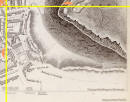
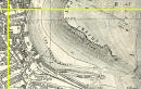
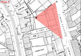
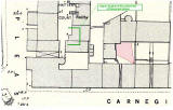
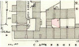
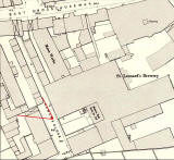
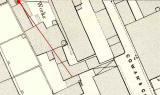
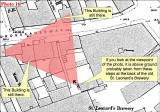
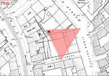
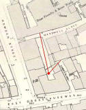
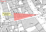
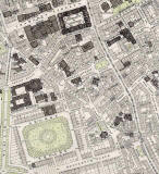
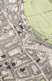
Below are two extracts from an 1891 map
that cover the area |
|||
|
South Side |
St Leonard's |
||
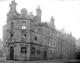
Edinburgh (St Leonard's) Improvement Scheme Albums of Early Photographs 1920s |
||||
|
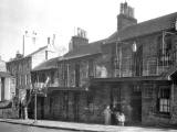
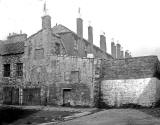
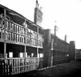
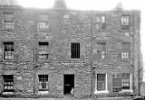
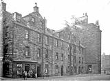
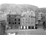
A survey of the St Leonard's District of Edinburgh was carried out in the 1920s, prior to demolition and reconstruction of much of the area. Here is one of the photos from this survey: Two volumes of photographs of the area prior to demolition can be found in the Edinburgh Room at Edinburgh Central Library and also in the Edinburgh City Archive. They include photographs of the following streets:
|
||||
|
I have taken copies of these photos from the Edinburgh City Archive's collection, but it may be some time before I can find the time to to add them to the web site. Peter Stubbs: 2007 |
||||
|
References for two volumes of photographs in the Edinburgh Room = qYDA 2034/1 [8371973 01] and [8371974 01] |
|
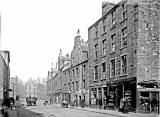
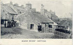
Postcards Early 1900s |
|
 ©
© |
|
|
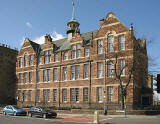
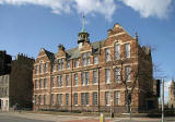
Photographs 1967-68 |
|
Photographs 2006 |
|||


|
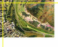
Maps and Aerial Photograph |
||
|
1844 |
1925 |
2001 |
|
Please click on any of the images above. All three will appear on the same page. |
||