|
St Leonard's District Photos Photo 2 South Richmond Street |
© Reproduced with acknowledgement to David Gordon, Old Town, Edinburgh
|
St Leonard's District - 1920s |
|
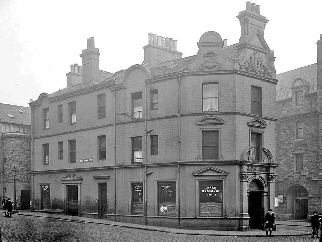
South Richmond Street This view is of the west side of MacPherson's pub, facing onto South Richmond Street. MacPherson's is advertising: "Dalkeith Ale in Bottle" ''Bass in Bottle" "Disher's Ten Guinea Ale in Bottle" The building on the right of MacPherson's in this photo with the large doorway is the Police Station at 146 Pleasance. |
|
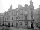
Pleasance Here is a photo of the west side of MacPherson's facing on to Pleasance |
|
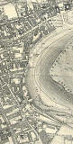
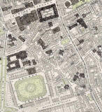
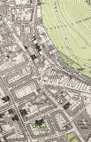
Map South Richmond Street been demolished. Please click on the map below to see where South Richmond Street used to be. The street is half-way down the map on the left-hand side: |
|
Collection of Photos The image at the top of this page is taken from a collection of whole-plate negatives. The photos were probably taken around the 1920s. |
|
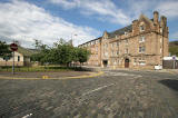
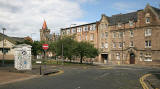
St Leonard's District - 2008 |
|
Today Please click on one of the thumbnail images below to see what this area looks like in 2008. |
|
1891 Map South Richmond Street can be found at the upper-left corner of the St Leonard's map below |
|
More photos - Questions and Answers: Where is it? |
||