|
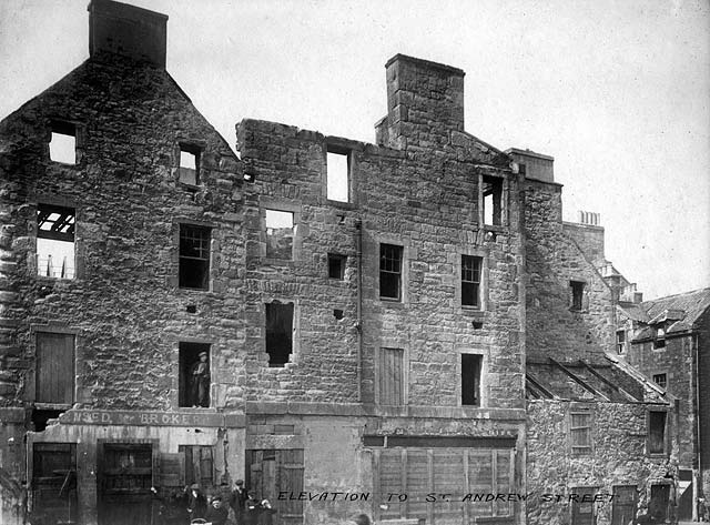
Corner of St Andrew Street and Sheriff Brae Leith |
© Reproduced with acknowledgement to Archie Foley, Joppa, Edinburgh
|
St Andrew Street and Sheriff Brae |
|
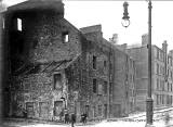
Location This view looks to the west towards what remains of the buildings in St Andrew Street at Coalhill, Leith, near the south bank of the Water of Leith. The buildings on the extreme-right of this photo are in Sheriff Brae. Here is another photo taken from nearby, a few yards to the right, showing the building at the corner of St Andrew Street and Sheriff Brae. This building can be seen on both photos:
|
|
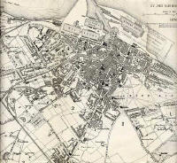
1870 Map Sheriff Brae is an extension to the west of Coalhill, the street beside what was the upper drawbridge over the Water of Leith at Sandport Place. The upper drawbridge can be seen on the 1870-71 map of Leith (below) immediately to the left of the letter 'L' of LEITH HARBOUR' printed along the centre of the Water of Leith.
|
|
Google Map St Andrew Street is one of the Leith streets that was re-named to avoid duplication of names when Leith and Edinburgh merged in 1920. St Andrew Street used to follow the course of what is now Parliament Street and the northern part of Giles Street The corner in this photo is immediately to the left of the point on the 'A' arrow symbol on this Google map.
|
|
Acknowledgement: Archie Foley, Joppa, Edinburgh: January 5, 2010 The photos above are from a series of photos posted onto boards in an old album that Archie Foley acquired a few years ago. Archie believes that these are likely to be official photos that probably once belonged to Leith City Council. |


