|
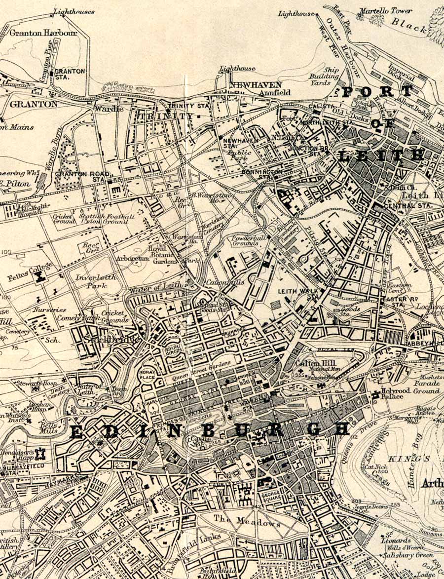
Edinburgh & Leith - 1925 Please use the scroll bars to view this map |
|
|
© Copyright: For permission to reproduce, please contact peter.stubbs@edinphoto.org.uk.
The extract above is taken from 'Map Showing the full extent of the City of Edinburgh, inset into John Bartholomew's Post Office Plan of Edinburgh & Leith 1925-26
|
The map above is Edinburgh & Leith - 1925 Please click on one of the links below to see more maps. |
|
|
SMALL MAPS: Zoom out to Queensferry to Musselburgh (1884) Zoom-in to Edinburgh (1860) ... to Edinburgh (1925) |
|
LARGE MAPS: Zoom out to Queensferry to Musselburgh (1884) * Zoom-in to Edinburgh (1860) * ... to Edinburgh (1925) * |
|
* Large maps may be slow to load. |
|
MAPS: Full index |
|
MAPS: Short Index with thumbnails |