|
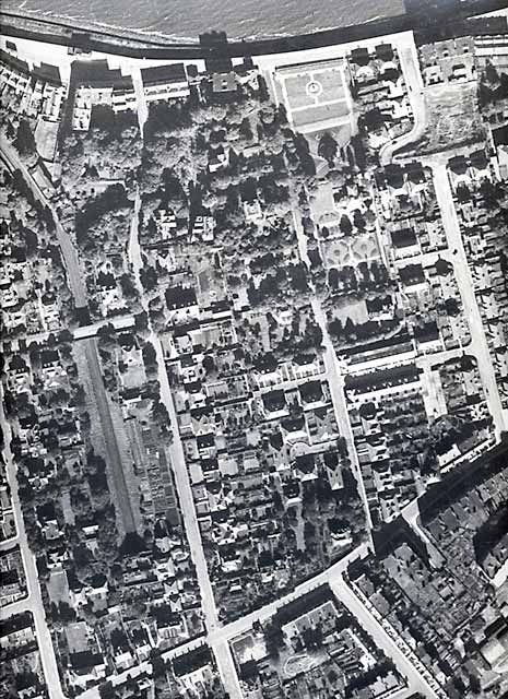
Aerial Photograph North-East Trinity 1947 |
|
The Firth of Forth runs along the northern part of this aerial view, with the old North British railway line from Granton Harbour (now a cycle path) curving inland down the left-hand side of this view and into the tunnel (lower-left) under Trinity Road. Starbank Park with its formal garden layout can be seen centre-right near the top of this view. |
|
North-east Trinity - 1947
© Reproduced courtesy of RCAHMS |
|
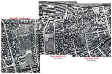
Key to the aerial view of north-east Trinity - 1947
© The aerial photograph to which this key has been added is reproduced courtesy of RCAHMS |

|
Recollections - Wardie School - 1930s to 1980s |
|
MAPS: Full index |
|
MAPS: Short Index with thumbnails |