c.1830
|
|
© Reproduced by courtesy of Steve Batrick, Ross-on-Wye
zoom-in to SE Scottish Roads: 1806
zoom-in to Edinburgh shire: 1884
zoom-out to North Britain: 1844
|
c.1830 |
|
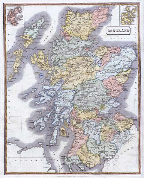
This map of Scotland was engraved by J.Gellatly, Edinburgh and published by Henry Washbourne, about 1830. It is a steel engraved map with original hand colour to the boundaries, supplemented by recent colour wash. Size 28 x 34.5 cms. |
|
MAPS: Full index |
|
MAPS: Short Index with thumbnails |