|
Robert Kirkwood Map (1819) AND Aerial View (2001) Edinburgh New Town |
1819 - Kirkwood Map
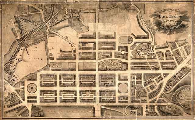
© Reproduced by courtesy of the National Library of Scotland. Click here for further info, and for the NLS maps web site.
2001 - Aerial View
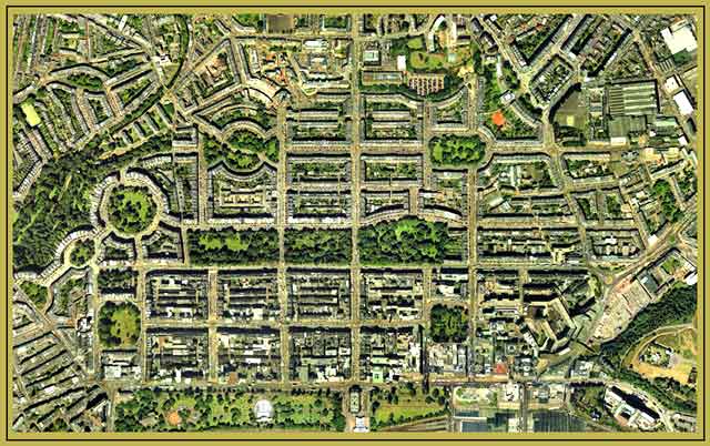
© Copyright: XYZ Digital Map Company Limited. Click here for details of web site.
|
Edinburgh New Town - 1819 |
|
This map above, by Robert Kirkwood, was drawn in 1819, about fifty years after building of Edinburgh's New Town had commenced. The North Loch (now West Princes Street Gardens ) had not yet been drained, and it would be a further 27 years before the railway would be built through Princes Street Gardens with the opening of the Station at Waverley in 1846. The southern part of the New Town (the First New Town, extending from Princes Street to Queen Street and from Charlotte Square to St Andrew Square was complete, but much of the land to the north still had to be built on. |
1819 - Streets and Districts
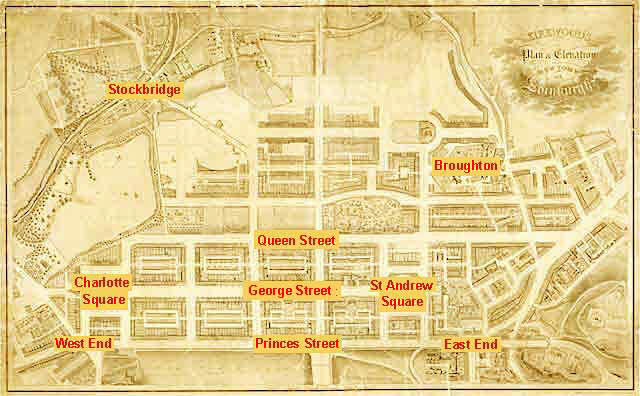
© Reproduced by courtesy of the National Library of Scotland
|
Kirkwood Map - 1819 |