|
Edinburgh Section F 1844 - 1925 - 2001 |
|
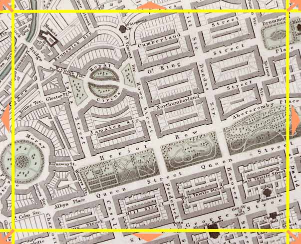
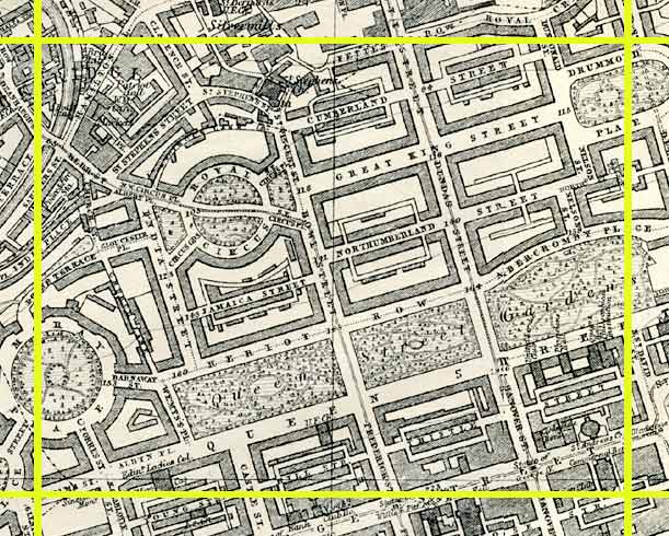
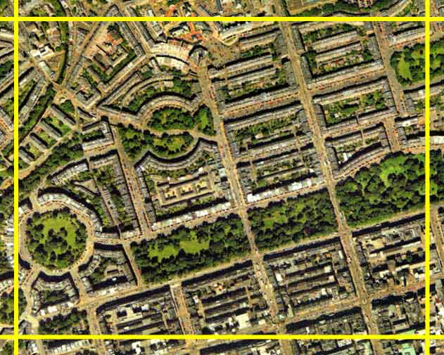
Edinburgh New Town [northern part of 'First New Town'] |
1844 Map
|
|
1925 Map
|
|
© Peter Stubbs Please contact peter.stubbs@edinphoto.org.uk for permission to reproduce
|
|
© Copyright: XYZ Digital Map Company Limited. Click here for details of web site.
|
Edinburgh New Town [northern part of 'First New Town'] |
|
The views of the New Town of Edinburgh are almost identical in the 1844 map and the 2001 aerial view above. Edinburgh Photographic Society's premises at 68 Great King Street are to the right of Royal Crescent (upper centre). The gardens running across the lower part of this picture are Queen Street Gardens. Until late in the 19th century, keys to enter Princes Street Gardens and Queen Street Gardens were held by the local residents. Now, Princes Street Gardens are open to the public, but Queen Street Gardens are still private. The Water of Leith can be seen running through Stockbridge at the upper left corner of this picture. |
Other Sections

|
Maps of Edinburgh Today |
|
For maps of Edinburgh (and elsewhere in Britain) today, I suggest using the Multimap web pages. Please click here to open a window of the Multimap web site. The Multimap site can display maps to match post-codes, and also has links to web-cams in Edinburgh. |