|
Please scroll along and down to see more of this map OR view smaller map OR view other sections from this map |
|
|
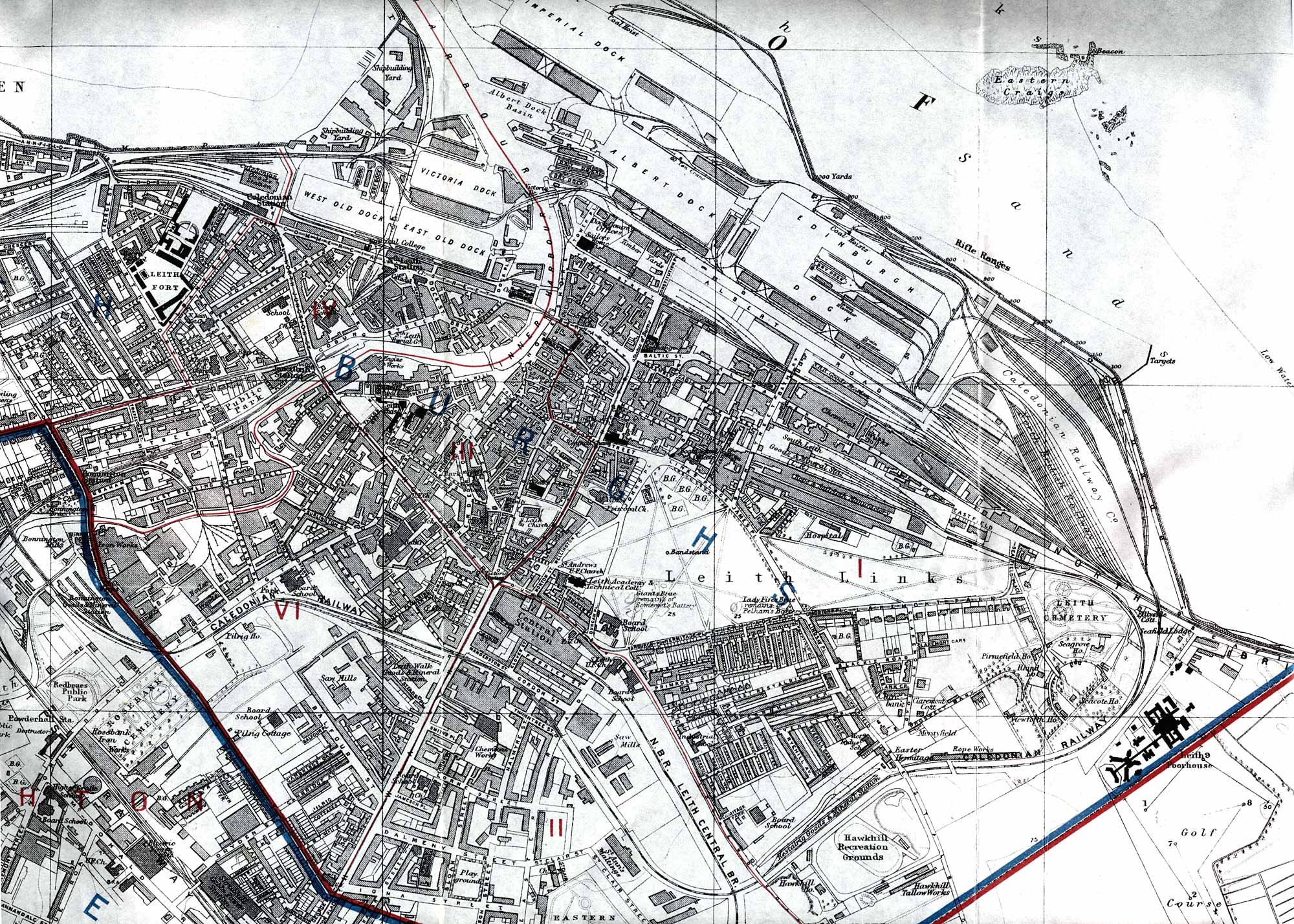
© For permission to reproduce, please contact peter.stubbs@edinphoto.org.uk This is an extract from a map of Edinburgh & Leith by W & A K Johnston, Ltd. It was published in the Edinburgh & Leith Post Office Directory, 1915-16
The blue lines on this map are Parliamentary Divisions. The red lines are Ward Boundaries.