|
Europe |
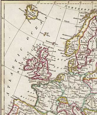
1813
© Reproduced by courtesy of Steve Batrick, Ross-on-Wye
|
Part of a Map of Europe 1813 |
|
This is part of a map entitled " Europe " drawn and engraved by J.C. Russell, published in Ostell's New General Atlas, 1813. It is a copper engraved map with original hand colour. Size of the whole map 22.5 x 19 cms. |
|
MAPS: Full index |
|
MAPS: Short Index with thumbnails |