1844
© Reproduced by courtesy of Steve Batrick, Ross-on-Wye
* Large map: slow to load.
|
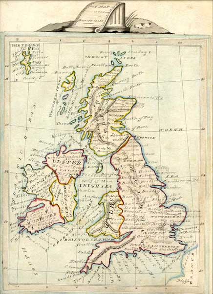
Part of a Map of the British Isles 1844 |
|
The map above is a manuscript Map of the British Isles by unknown artist, dated 'Oct.1844'. It is in pen and ink with contemporary wash colour. Size 21.5 x30 cms. [Steve Batrick] Steve Batrick comments: "This map makes up in charm what it lacks in accuracy." |
|
MAPS: Full index |
|
MAPS: Short Index with thumbnails |