c.1877
© Reproduced by courtesy of Steve Batrick, Ross-on-Wye
* Large map: slow to load.
|
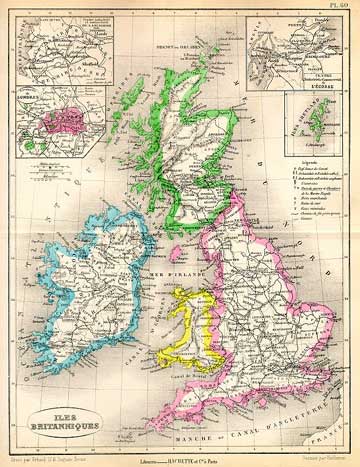
c.1877 |
|
This is a map entitled " Iles Britanniques " engraved by Erhard after Vuillemin, published in Atlas Universel D'Histoire et de Geographie, Paris, 1877. It is a lithographic map with original hand colour. Size 20 x 26.5 cms. |
|
MAPS: Full index |
|
MAPS: Short Index with thumbnails |