|
Broughton |
|
|
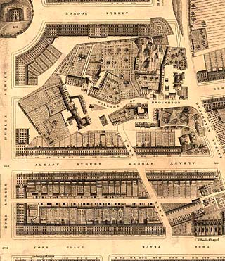
Kirkwood Map - 1819
©
Reproduced
by courtesy of the National Library of Scotland. |
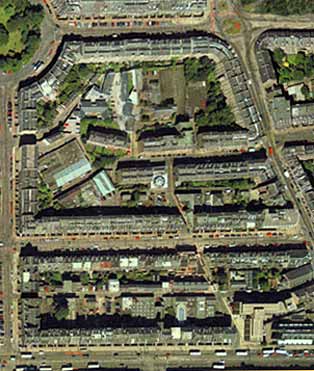
Aerial View - 2001
©
Copyright: XYZ Digital Map Company Limited. |
|
Broughton |
|
|
The district of Broughton lies about a quarter of a mile to the north of the East End of Princes Street. Little now remains of the old village of Broughton, though there is still one narrow lane through the area, named Broughton Market. The house in the top-left corner in Drummond Place (not named on this section of the map) is the Custom House (now no longer standing). However, St Paul's Chapel (now St Paul's Church) in York Place is still in use as a church. |
|
|
Kirkwood Map - 1819 |


