|
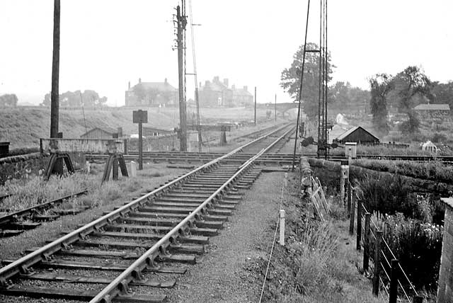
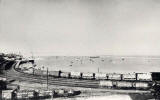
North Edinburgh Railways Warriston Level Crossing |
Looking to the west towards Warriston Cemetery
© Reproduced with acknowledgement to Douglas Yuill Photographer not known
|
Warriston Level Crossing |
|
Warriston This photograph is taken from a point about 1/4 mile to the east of Warriston Crematorium. The line straight ahead runs between Warriston allotments, through the bridge under under Warriston Road, then through Warriston Cemetery before swinging round to the left and heading north towards Scotland Street Goods Yard. |
|
The line to Granton The line running from left to right across the picture is the 'new' (since 1868!) route from the centre of Edinburgh to Trinity and Granton Harbour, via Abbeyhill, Easter Road, Leith Walk and Powderhall. |
|
Today This crossing of the old railway lines can still be seen today, but all routes are now foot paths / cycle paths. Many large trees have grown around the area. These now hide the view towards the bridge over Warriston Road, the houses beside the bridge and the high ground on the left, St Mark's Park, from view. However a glimpse of the allotments in the valley on the right can still be seen today. |
|
TRANSPORT |
|||||||
| Full Index |
Bus Tickets |
Railway Tickets |
|||||
