1830
© For permission to reproduce, please contact peter.stubbs@edinphoto.org.uk
|
1830 Map |
|
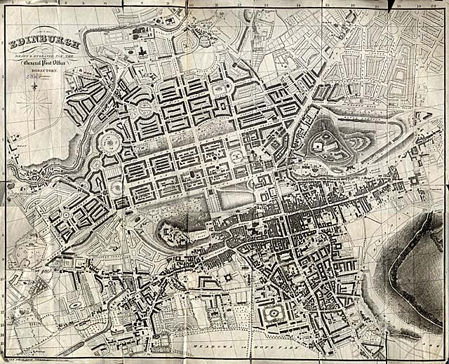
This map appeared in the 1830-31 General Post Office Directory. Here, the first part of the New Town, Princes Street and the streets to the north, has been built, but much of the land close to the borders of the map is still at the planning stage. |
|
MAPS: Full index |
|
MAPS: Short Index with thumbnails |