|
Maps of Edinburgh 1955 |
|
Edinburgh |
||
|
North-west |
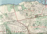
North |
North-east |
|
West |
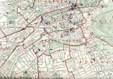
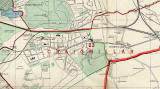
Central |
East |
|
South-west |
South |
South-east |
|
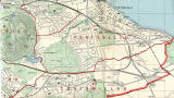
Around Edinburgh |
||
|
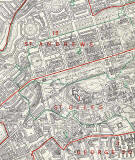
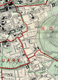
Central - West |
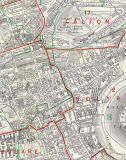
Central - East |
Craiglockhart + Braid Hills |
|
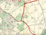
Craigmillar + Niddrie |
Dumbiedykes + St Leonard's |
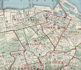
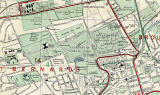
Inverleith |
|
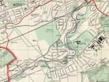
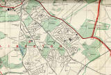
Juniper Green + Colinton |
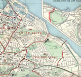
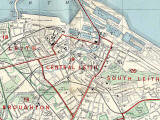
Leith |
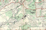
Liberton |
|
Portobello |
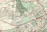
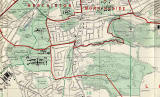
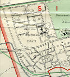
Sighthill + Calder |
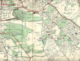
Sighthill + Calder zoom-out |
|
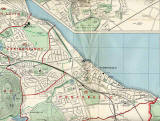
Waterfront |
||

|
Maps: All Edinburgh Districts: 1870 1915 1925 1940 1955 2001 |
|
|
Map Index: Full Index |
Map Index: Short Index + thumbnails |