|
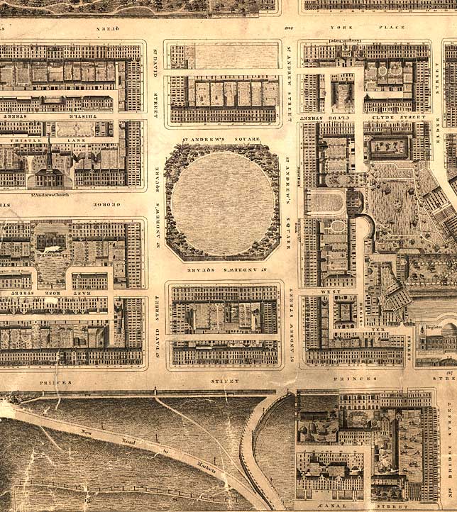
Edinburgh New Town - Robert Kirkwood Map First New Town East Section 1819 |
|
|
First New Town (East Section) including St Andrew's Square
© Reproduced by courtesy of the National Library of Scotland. Click here for further info, and for the NLS maps web site. |
|
|
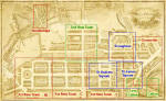
Click here to see all other sections of this map: |
Please click
an arrow below to move to a
|
|
Click here
to see the whole map
and aerial view:
|
|
|
First New Town East Section |
|
|
The First New Town of Edinburgh includes the regular pattern of streets bounded by: - Princes Street (to the south) - Queen Street (to the north) - Charlotte Square (to the west) - St Andrew Square (to the east) This section of the map runs approximately from Hanover Street to beyond St Andrew Square. The railway has not yet arrived in Princes Street Gardens and the Scott Monument has not yet been built. There is a diagonal path running through East Princes Street Gardens, marked 'New Road to Markets'. |
|
|
Kirkwood Map - 1819 |