|
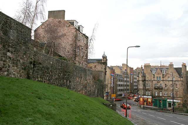
Looking down The Pleasance towards Holyrood Road and St Mary's Street |
Looking down to Holyrood Road and St Mary's Street - December 2007
© peter.stubbs@edinphoto.org.uk Photo taken: December 22, 2007 at 3.48pm
|
The Pleasance |
|
The Location This view looks to the north, down The Pleasance towards its junction at the bottom of the hill with: - St Mary's Street (leading straight ahead up the hill to the north, past the Travelodge Hotel, towards the Royal Mile and Waverley. - Holyrood Road (leading to the right, towards the new Dynamic Earth exhibition and the new Scottish Parliament). - Cowgate (leading to the left, out of picture, towards the Grassmarket). |
|
The Wall The high wall on the left of this photo is part of the Flodden Wall, built around Edinburgh to protect it from invasion by the English, following the Battle of Flodden in 1513 in which King James IV was killed. Here we see the SE corner of the wall, leading up the Pleasance then turning right along Drummond Street (out of the photo, on the left). This section of the wall originally enclosed the Blackfriar's Monastery. |
|
Recollections |
|
Thank you to Bob Henderson, Burdiehouse, Edinburgh who wrote: "I've just been looking at your shot, looking down the Pleasance, and thought it might be worth mentioning that the grassy slope from the Flodden Wall to the pavement on the Pleasance was once a row of tenements which disappeared at about the same time as Arthur Street." Bob Henderson, Burdiehouse, Edinburgh: December 28, 2007 |
|
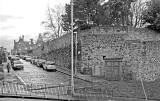
The tenements in Arthur Street were demolished around the 1960s. Arthur Street |


