|
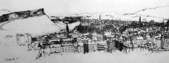
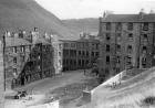
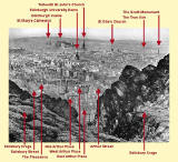
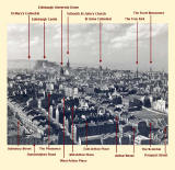
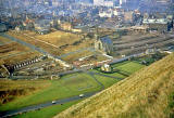
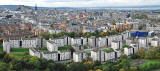
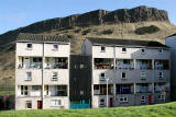
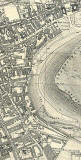
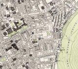
Dumbiedykes Dumbiedykes is the district between Holyrood Park and the Pleasance. Most of the housing in this district was demolished in the 1960s |
|
Index to Dumbiedykes Pages |
|
|
Please select one of the categories below |
|
|
Recollections |
|
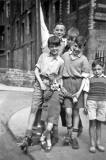
| Photos of People | |
| Photos of Streets | |
|
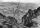
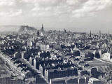
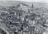
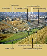
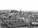
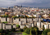
Looking down on Dumbiedykes |
|
| Recent Photos | |
|
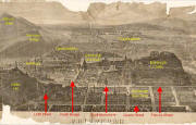
Maps and Aerial Views |
|