|
Dumbiedykes Photos Dumbiedykes is on the western edge of Holyrood Park. Read about the name here. Streets A - G including Survey Photographs c. 1959 Colour Photographs c. 1961-63 and 2004 onwards, and other photos |
|
Streets A - G Streets H - R Streets S - Z |
|
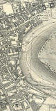
Map |
|
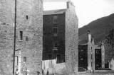
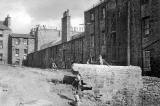
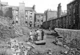
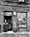
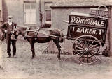
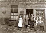
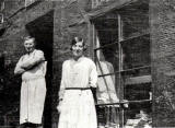
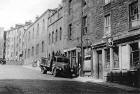
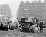
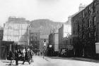
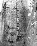
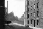
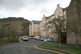
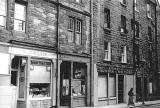
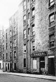
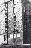
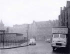
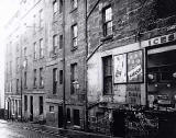
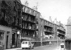
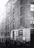
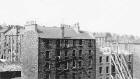
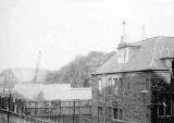
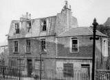
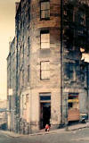
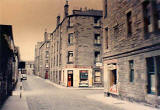
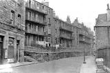
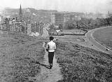
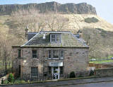
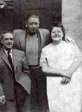
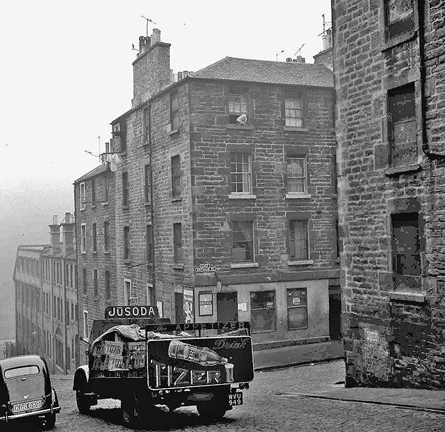
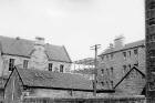
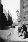
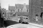
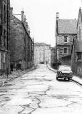
Arthur Street |
|
|
1910s |
|
|
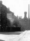
c 1920 |
|
|
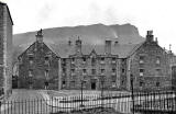
1930s |
|
|
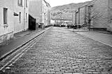
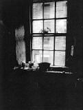
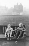
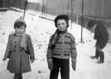
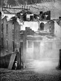
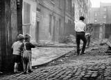
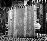
1950s |
|
|
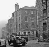
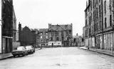
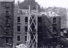
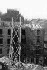
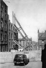
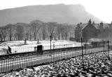
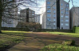
1960s |
|
|
|
|
|
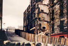
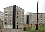
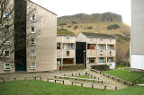
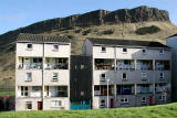
2000s |
|
|
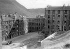
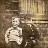
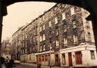
Beaumont Place |
|
|
See also: Edinburgh Old Town Recollections - 'The Penny Tenement' |
|
|
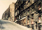
Brown Street 2006 |
|
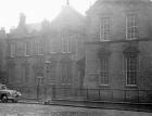
Davie Street and Davie Street School |
|
Dalrymple Place |
|
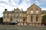
East Adam Street |
|
Forbes Street |
|
| Recollections of Forbes Street | |
|
Dumbiedykes: Streets A-G Streets H-R Streets S-Z More Pages |
||
| Edinburgh Photos | Contributors | |