|
Edinburgh Old Town including the Royal Mile |
|
Edinburgh Old Town was built on the ridge running down the from Edinburgh Castle to Holyrood Palace. The Royal Mile which leads down this ridge is made up of Lawnmarket, then The High Street then Canongate. There are high buildings on either side with narrow lanes or closes between them, particularly on either side of the High Street. |
|
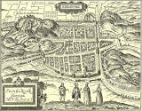
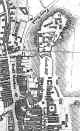
Plan of Edinburgh Early-1700s |


| The
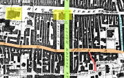
Royal Mile Closes
1817 |
||
|
SLOW to LOAD |
 ©
©
|
|
|
Notes on the Royal Mile Edinburgh Old Town was built on the ridge running down the from Edinburgh Castle to Holyrood Palace. The Royal Mile runs down this ridge It comprises Lawnmarket then The High Street then Canongate. There are high buildings on either side with narrow lanes or closes between them, particularly on either side of the High Street. |
||
|
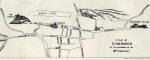
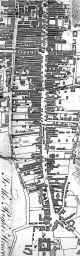
High Street and South Bridge 1830 |
St Giles, Tron, South Bridge, Cowgate |
|
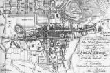
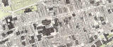
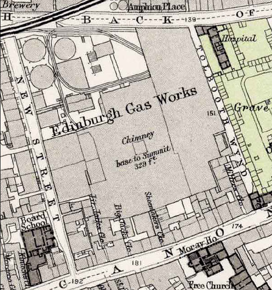
Edinburgh Old Town 1891 Map |
||
|
Old Town |
||
|
PLEASE NOTE: Large maps
below may take a while to load and |
||
|
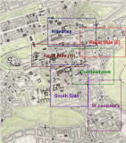
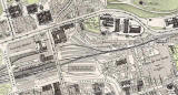
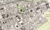
Waverley |
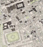
Royal Mile (W) |
Royal Mile (E) |
|
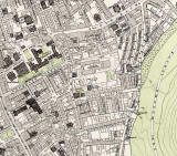
South Side |
Dumbiedykes |
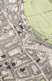
St Leonard's |
|
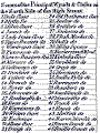
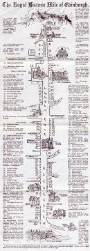
The Royal Mile Closes Early 20th Century Map from a leaflet published by W J Hay |
|
Royal Mile Map |
|
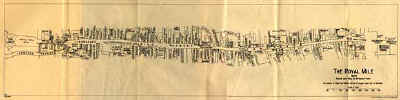
The Royal Mile Closes 1928 Maps |
|
|
SLOW to LOAD |
|
|
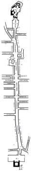
The Royal Mile Closes 1979 Map |
|
| Key to Map | |
| Key to Map | |
|
MAPS: Full index |
|
MAPS: Short Index with thumbnails |