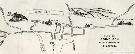
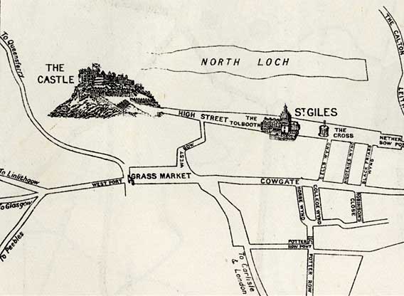
Maps of Central Edinburgh

Edinburgh Castle

National Galleries

St Giles Church

©

©   Edinburgh in the early 1700s  -  east section of map ©

Early 1700s

©

©   Edinburgh in the early 1700s  -  east section of map ©

Early 1700s

Edinburgh map  -  1830 ©

1830

Edinburgh map  -  1840 ©

1840

Edinburgh map  -  1850 ©

1850

Edinburgh map  -  1860 ©

1860

Edinburgh map  -  1870 ©

1870

Edinburgh map  -  1917 ©

1917

Aerial View of Edinburgh  -  2001 ©

2001

Edinburgh aerial photo  -  2001  -  zoomed out ©

2001 zoom-out

The Art Galleries and the Offices of The Free Church of Scotland. ©

2001 zoom-in


     Maps of Edinburgh Castle, National Galleries and St Giles Church  -  1830 to 2001 ©

All maps - 1830 to 2001

   Key to map of Edinburgh Castle, National Galleries and St Giles Church  -  1870 ©

Key


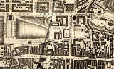
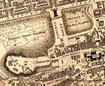
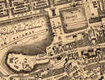
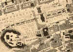
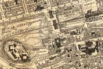
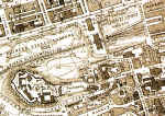
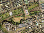
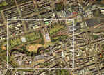
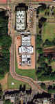
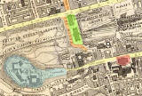
The development of Edinburgh can be traced from these maps.  Click on any map to enlarge it.

-  Early 1700s: Neither the Mound nor the Galleries have yet been built. 

-  1830, 1840:  National Gallery and an Earthen Mound

-  1850:  The railway arrives.

-  1860:  A second National Gallery

-  1870:  More railways and a route up the Mound into George IV Bridge.

-  1917, 2001:  The road lay-out as we know it today.


__________________