|
NOTE: This page may be slow to load, but if you are prepared to wait it will let you compare maps at different dates by scrolling down this screen. |
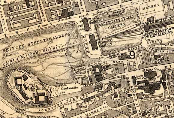
1830 Map
|
|
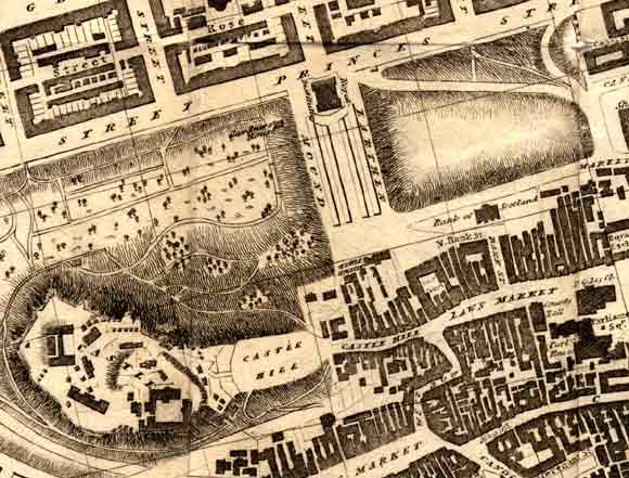
© Copyright: For permission to reproduce, please contact peter.stubbs@edinphoto.org.uk
1840 Map
|
|
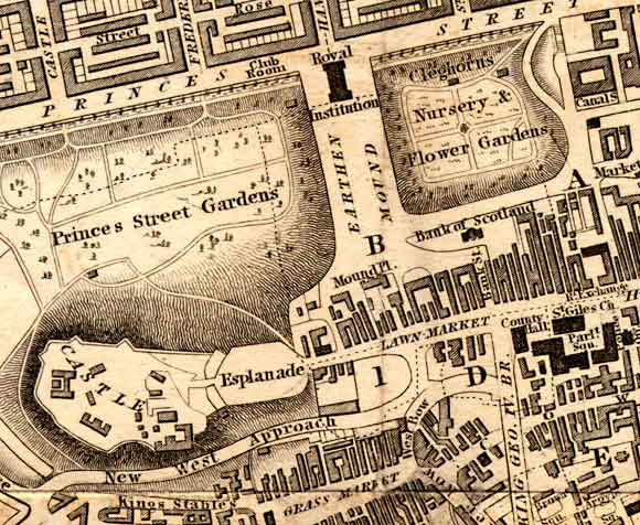
© Copyright: For permission to reproduce, please contact peter.stubbs@edinphoto.org.uk
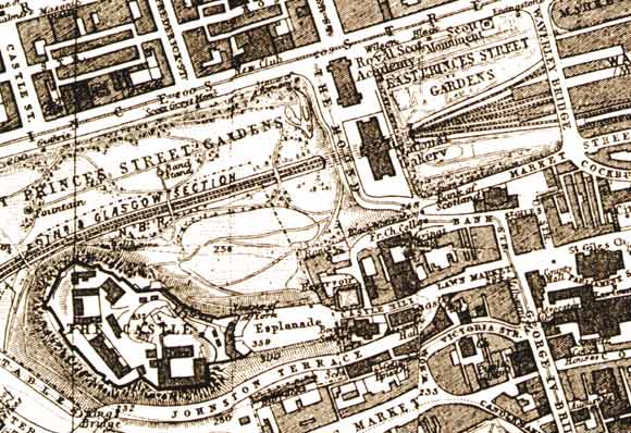
1850 Map
|
|
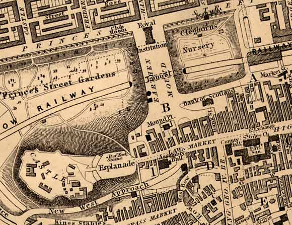
© Copyright: For permission to reproduce, please contact peter.stubbs@edinphoto.org.uk
1860 Map
|
|
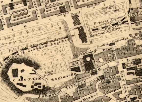
© Copyright: For permission to reproduce, please contact peter.stubbs@edinphoto.org.uk
1870 Map
|
|
© Copyright: For permission to reproduce, please contact peter.stubbs@edinphoto.org.uk
1917 Map
|
|
© Copyright: For permission to reproduce, please contact peter.stubbs@edinphoto.org.uk
2001 Aerial View
|
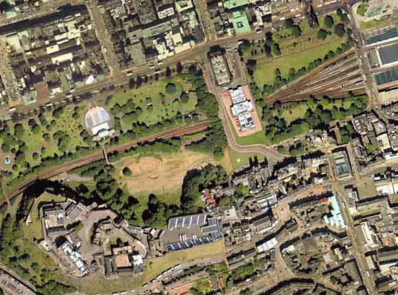
© Copyright: XYZ Digital Map Company Limited. Click here for details of web site.
|
MAPS: Full index |
|
MAPS: Short Index with thumbnails |